contact
contact
Gröbminger Land

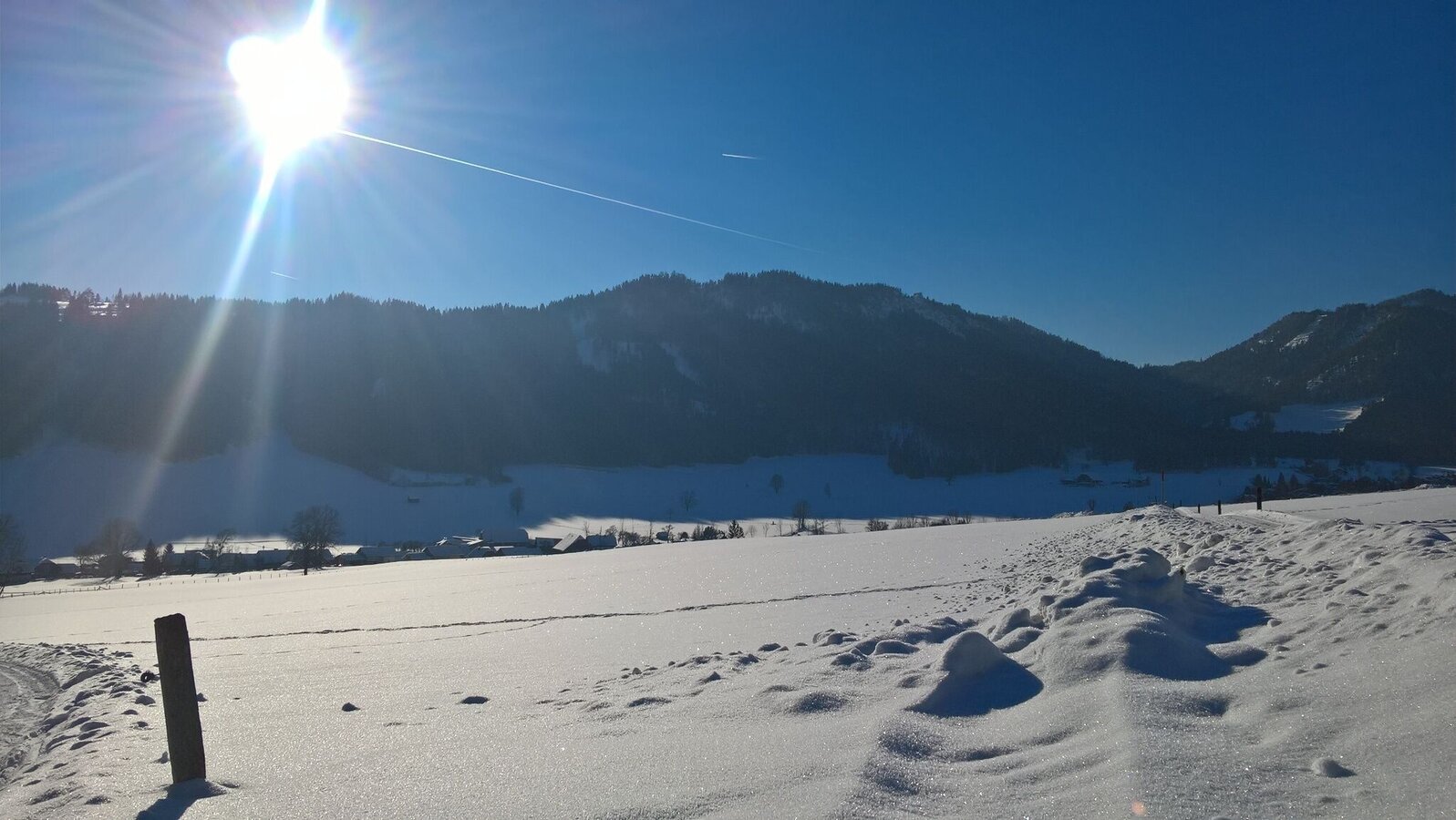
Winter hiking trail Gröbming-Winkl

Tour description

The route starts from the Gröbminger Rot Kreuz headquarters near MEZ and leads via Oberwinkl in the direction of Lend. Cross the road to Weyern and return via Ederhof to Gröbming. End of the journey: Gröbming main square.

The tour

easy
publicly accessible
Starting point MEZ Gröbming
Destination Mainsquare Gröbming
Tour characteristics
Distance: 9 km
Fitness (2/6)
Information
Distance: 9 km
Duration: 2:25 h
Ascent: 133 m
Descent: 127 m
highest point: 900 m
Best season
Jan
Feb
Mar
Apr
May
Jun
Jul
Aug
Sep
Oct
Nov
Dec

Map, elevation profile & further information

sturdy shoes, hiking stickes 

Wheather predicition

today
12.08.2026
Mountain 23 °C
Valley 29 °C
Precipitation
Probability
30 %
Amount
0.2 l/m²
Wind speed
Nordost
5 km / h
Sun
Sun hours
13.5 h
Sunrise
05:57 o clock
Sunset
20:21 o clock

Dry and sunny throughout the day with hardly any clouds.

tomorrow
13.08.2026
Mountain 24 °C
Valley 29 °C
Precipitation
Probability
0 %
Amount
0 l/m²
Wind speed
Nordost
5 km / h
Sun
Sun hours
14.3 h
Sunrise
05:58 o clock
Sunset
20:20 o clock

Dry and sunny throughout the day with hardly any clouds.

day after tomorrow
14.08.2026
Mountain 25 °C
Valley 31 °C
Precipitation
Probability
0 %
Amount
0 l/m²
Wind speed
Südost
5 km / h
Sun
Sun hours
14.3 h
Sunrise
05:59 o clock
Sunset
20:18 o clock

Dry and sunny throughout the day with hardly any clouds.

Tours nearby

}