contact
contact
Schladming

Sun Tour Rohrmoos

Hiking on the Sonnenrunde Rohrmoos
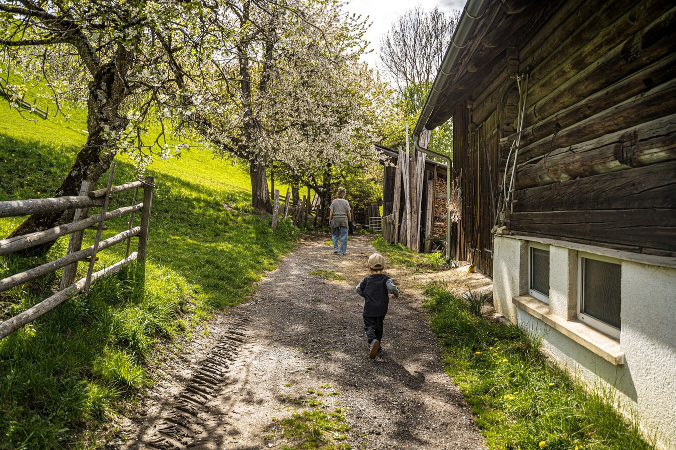
Hike on the Rohrmoos Sun Circuit
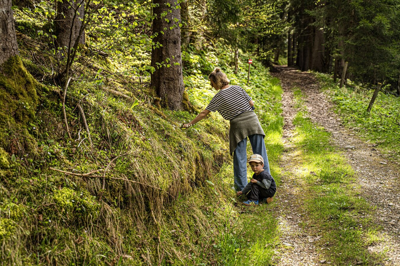
Sonnenrunde Rohrmoos Hiking Trail
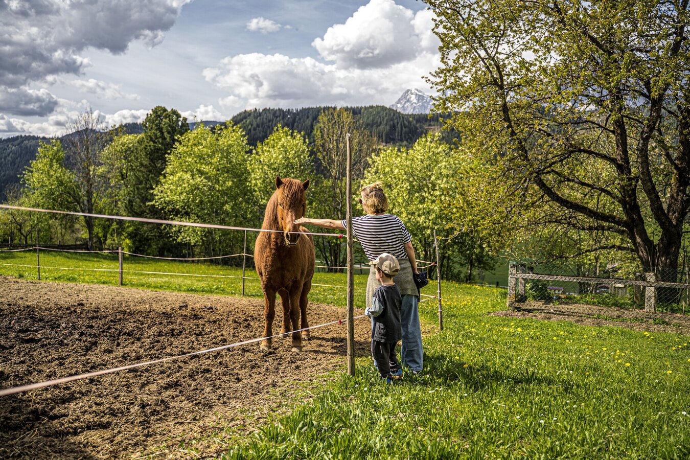
Horse paddock on the Sonnenrunde
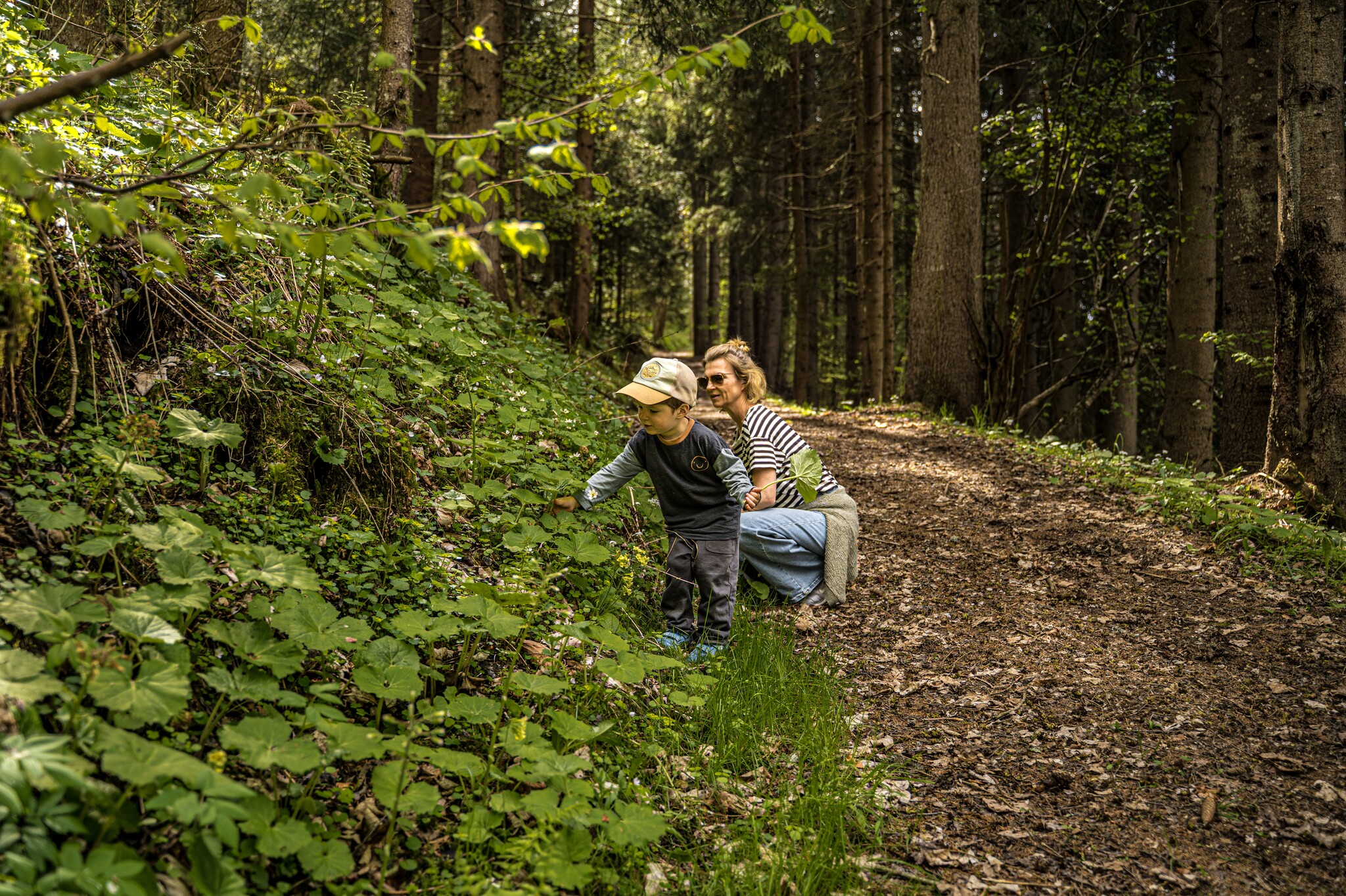
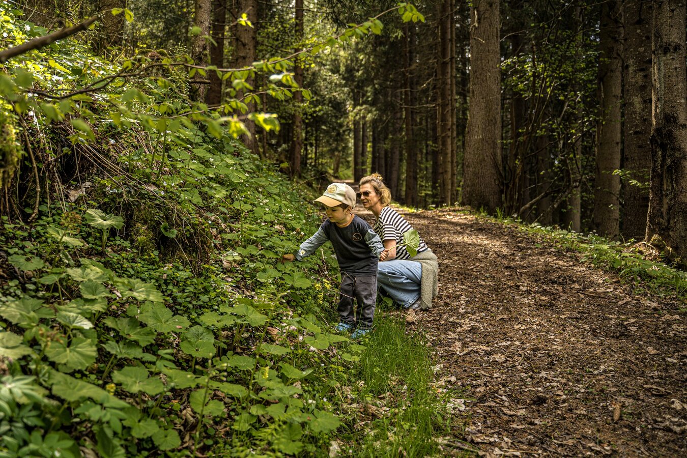
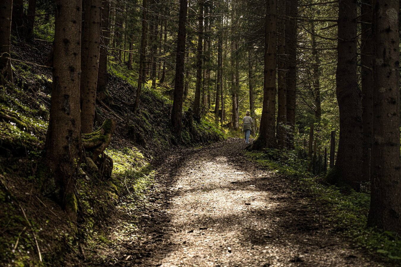
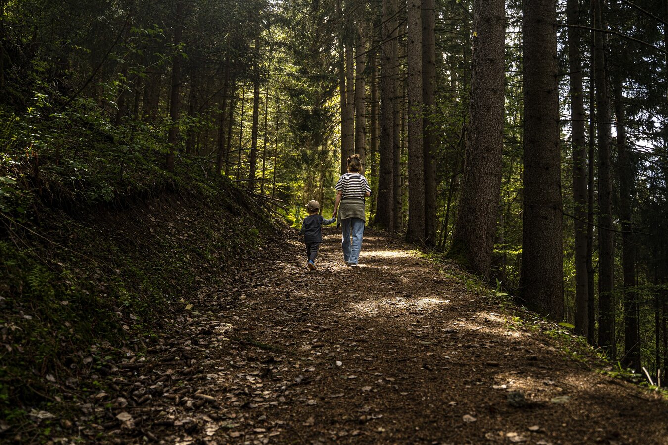
Forest Path Sonnenrunde Rohrmoos
Hiking on the Sonnenrunde Rohrmoos
Hike on the Rohrmoos Sun Circuit

Tour description

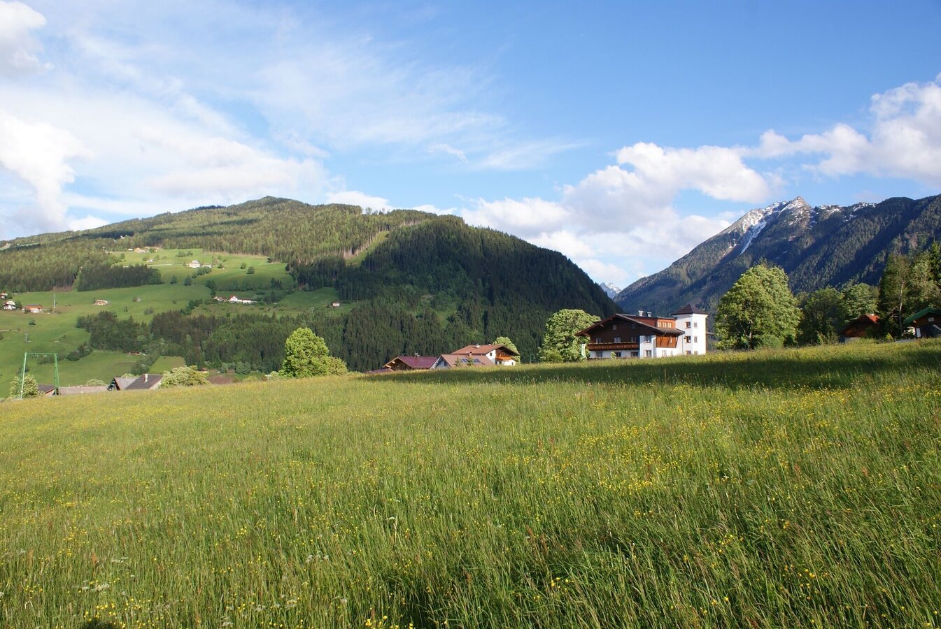
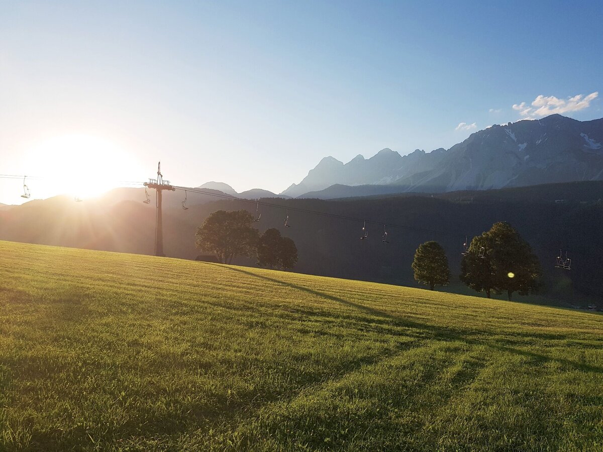
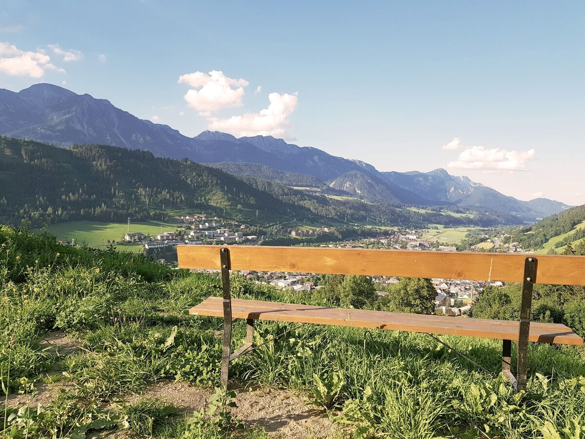
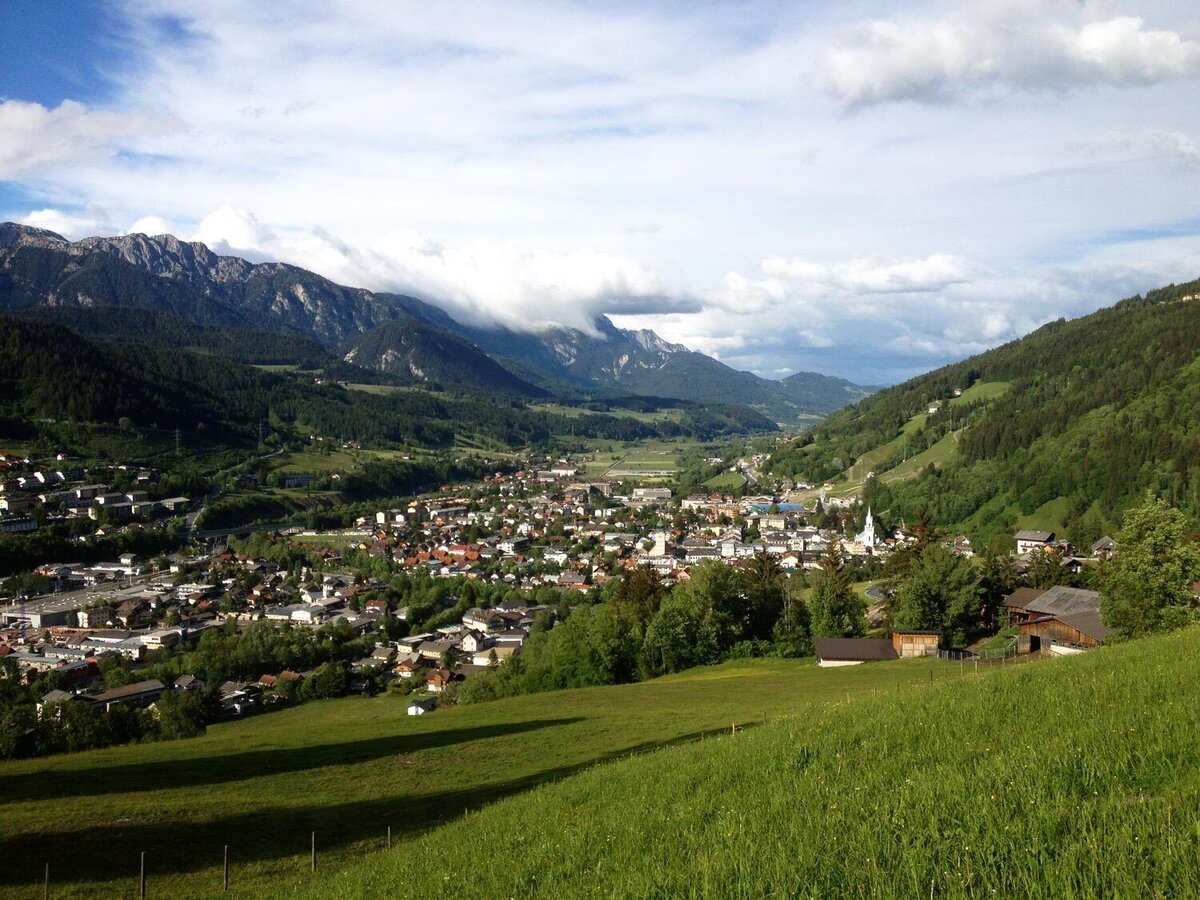
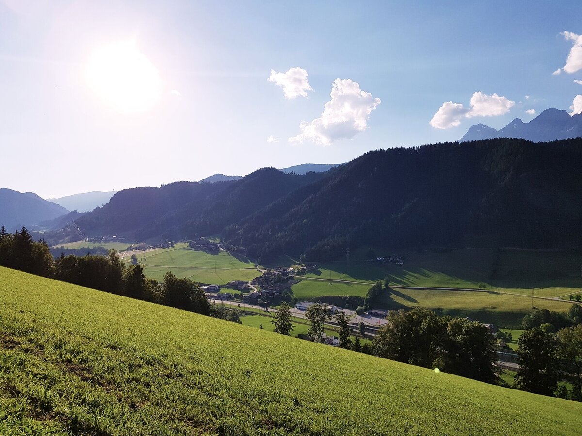
A walk through the village of Rohrmoos with several refreshment stops on the way. Also perfect for a walk after dinner. Along Mosergasse alley, Wiesenweg road and Reiterkreuzweg road you explore the lower part of Rohrmoos. The walk holds nice views to Schladming, Obere Klaus, Pichl and the Dachstein massif.

The tour

easy
publicly accessible
Starting and end point Hiking trail head Rohrmoos village
Tour characteristics
Distance: 2.6 km
Fitness (2/6)
Information
Distance: 2.6 km
Duration: 1:00 h
Ascent: 90 m
Descent: 90 m
highest point: 990 m
Best season
Jan
Feb
Mar
Apr
May
Jun
Jul
Aug
Sep
Oct
Nov
Dec

Map, elevation profile & further information

From the hiking trail head you walk pass through between hotel Stocker's Erlebniswelt and Sport Tritscher and - passing by restaurant Pariente - you follow Mosergasse road downhill. At Pension Wiesenegg you make a left and follow Wiesenweg road until you reach Schererhof farm. Pass by left of the stable and continue uphill through the forest to the trail junction at "Reiterkreuz". Make a left and follow Reiterkreuzweg road back to the starting point.

From Schladming take provincial highway L722 (Rohrmoosstraße road) to the village of Rohrmoos.Parking is available at the hiking trail head in the village center of Rohrmoos.
With the Planai buses to the village of Rohrmoos - bus stop "Rohrmoos-Zentrum".

Hiking or trekking shoes with grip sole, jacket.

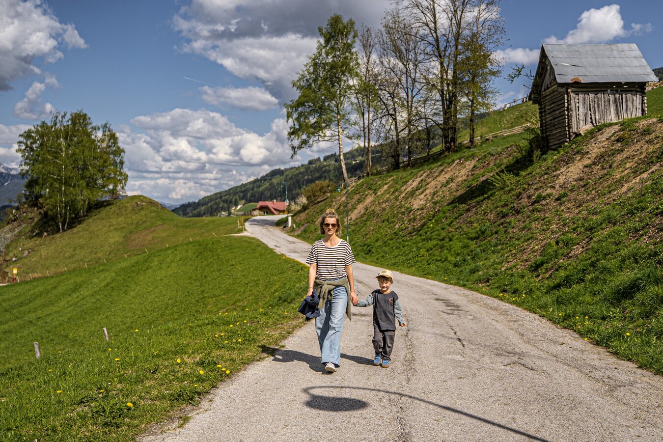
The trail is suitable for prams, although there is a steep section between Schererhof farm and the waypoint Reiterkreuz.

Nice evening walk.

Tourist information: www.schladming.com

Information about bus schedules: www.planaibus.at

  • Hiking map ‘Hiking WEST’ available at the information offices in the region.
  • Schladming hiking map, 1:25,000, available at the Schladming information office.
  • Hiking map Schladming-Dachstein, 1:50,000, available at the information offices in the region.
  • Hiking guide Schladming-Dachstein by Herbert Raffalt, available at the information offices in the region.

Wheather predicition

today
11.08.2026
Mountain 20 °C
Valley 28 °C
Precipitation
Probability
55 %
Amount
6.4 l/m²
Wind speed
Nordwest
5 km / h
Sun
Sun hours
8.1 h
Sunrise
05:56 o clock
Sunset
20:24 o clock

Dry and fair in the early morning, later frequent thunderstorms.

tomorrow
12.08.2026
Mountain 22 °C
Valley 28 °C
Precipitation
Probability
35 %
Amount
0.4 l/m²
Wind speed
Nord
5 km / h
Sun
Sun hours
12.8 h
Sunrise
05:57 o clock
Sunset
20:22 o clock

Dry and sunny throughout the day with hardly any clouds.

day after tomorrow
13.08.2026
Mountain 22 °C
Valley 29 °C
Precipitation
Probability
0 %
Amount
0 l/m²
Wind speed
Nord
5 km / h
Sun
Sun hours
14.4 h
Sunrise
05:59 o clock
Sunset
20:20 o clock

Dry and sunny throughout the day with hardly any clouds.

Tours nearby

}