Gröbminger Land
Panorama Runde
Nordic walking
Data:
Tour description
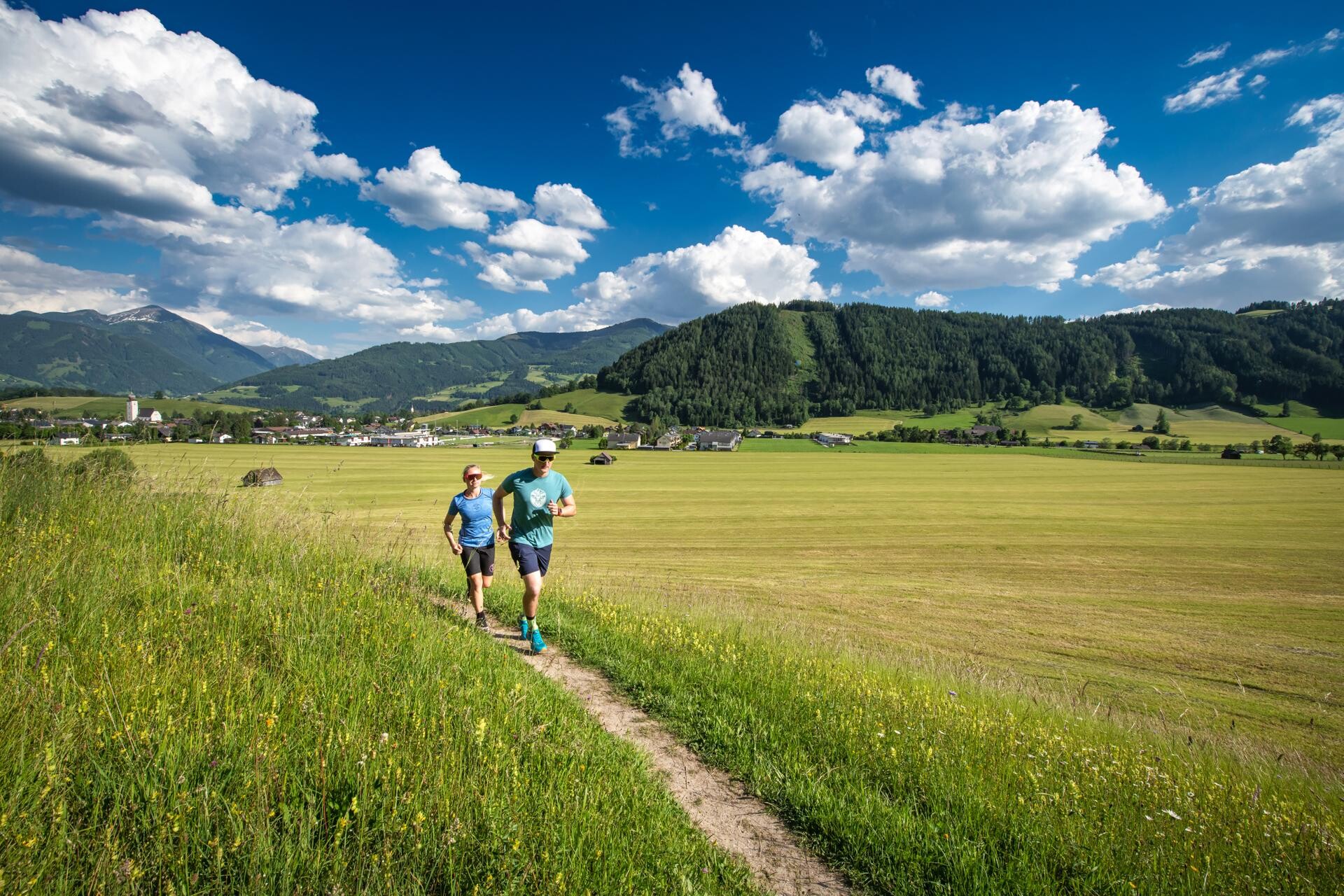
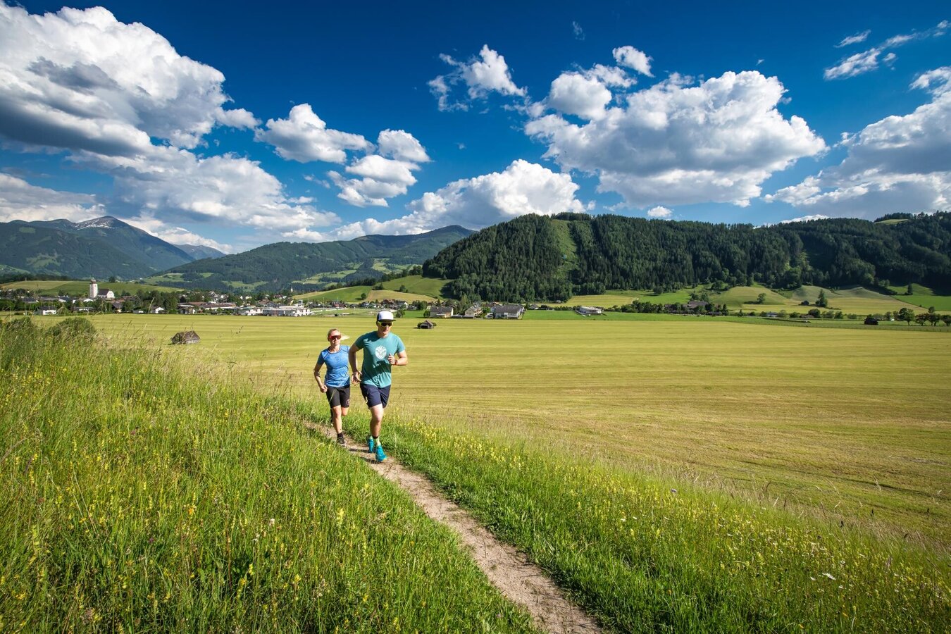
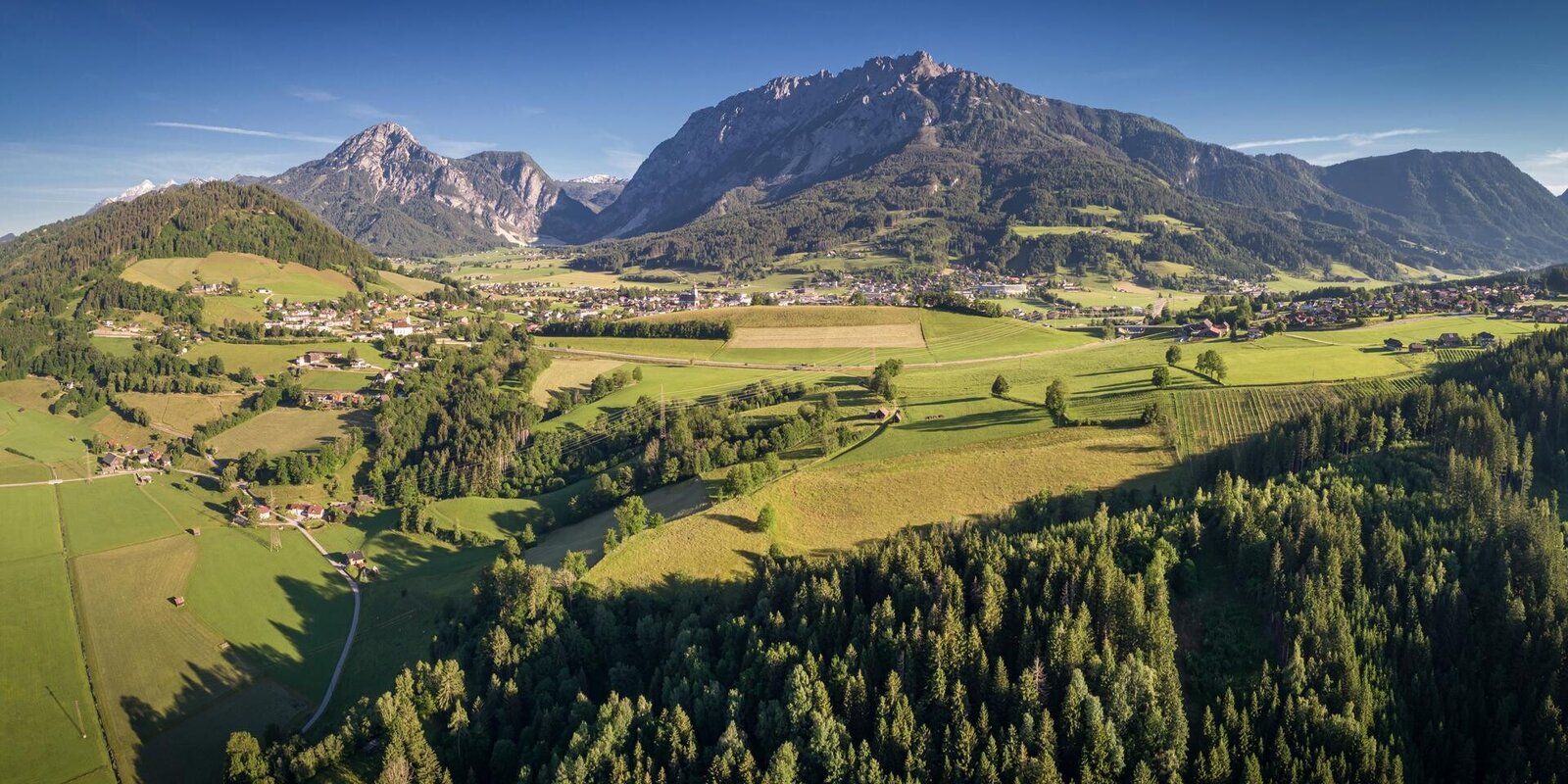
This circular hiking trail lives up to its name. Via the Stoderstraße and the picturesque Gröbminger Alm, the trail leads through a section of forest towards Freienstein. From the clearing along the Schneerosenhügel hill, a wonderful view of the Stoderzinken, Kammspitze and Grimming invites you to linger. The trail continues through a section of forest to Gröbming and along the Grömingerbach stream back to the starting point.
Translated with DeepL.com (free version)
Translated with DeepL.com (free version)
The tour
partially open
difficult
publicly accessible
Tour characteristics
Distance: 8.2 km
Fitness (2/6)
Information
Distance: 8.2 km
Duration:
1:00 h
Ascent: 397 m
Descent: 402 m
highest point: 1134 m
Best season
Jan
Feb
Mar
Apr
May
Jun
Jul
Aug
Sep
Oct
Nov
Dec
Map, elevation profile & further information
From Salzburg: A 10 Tauernautobahn to Altenmarkt/Pongau junction - B 320 Ennstalbundesstraße - Gröbming
From Graz: A 9 Phyrn Motorway to St. Michael junction - Liezen B 320 to Gröbming
From Linz: A 9 Phyrnautobahn to Liezen (Bosrucktunnel MAUT!! or Phyrnpass) - B 320 to Gröbming
public parking places towards the police-station in Gröbming
suitable footwear, weatherproof clothing